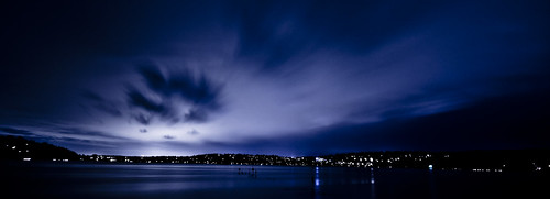
Monday, June 29, 2009
Friday, June 05, 2009
Marine Push!
Update: Scott Sistek from Komo 4 News has posted a weather blog about the push. It has my photo as well as a link to my flickr set. http://www.komonews.com/weather/blog/47030847.html
Update: the photo I took during the most intense part of the push is currently the front page photo on http://www.komonews.com/!
Tuesday: 88 degrees.
Wednesday: 89 degrees.
Thursday: 91 degrees.
This is JUNE for cryin' out loud! Well we FINALLY got some relief today around 9:00pm when a VERY strong marine push blew through.
My friend Don sent me a text at 8:50 this evening asking me if I was outside. He said that the sky was on fire and the winds had just come up quickly. I knew there was some very strong convection down in northern Oregon today so my first though was a very strong gust front. Turns out it was an extremely strong marine push coming from the ocean! I looked at the radar and sure enough there was a strong signal of very strong winds that indicated it was almost here. I quickly threw my camera stuff together and went over to Log Boom Park at the northern tip of Lake Washington. I got there just in time to see the very end of the gorgeous sunset!
9:01pm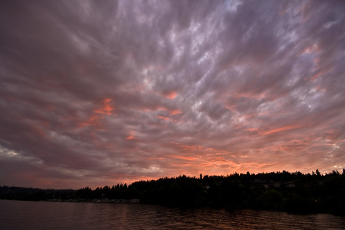
I then turned my attention to the push that was almost there. It was fairly obvious where it was by looking at both the clouds and the surface of the water.
9:05pm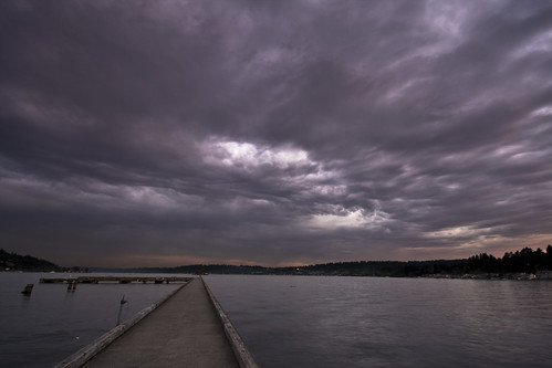
I ran down to the end of the pier and set up my camera just as the wind started to pick up. Here you can see the surface of the water is starting to get a little rough as the winds pick up ahead of the push.
9:10pm
Then it hit within about 30 seconds. The winds gusted up to over 50 knots and made it very hard to stand, let alone take photos! Below is a 1 second exposure I took during the most intense part. I am holding on the the tripod and camera as best as possible to keep it from shaking!
9:13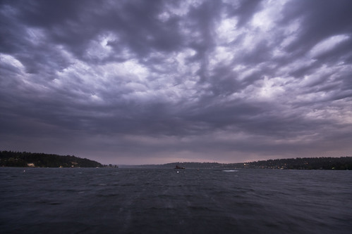
Then as the winds settled a bit (down to 20-30 knots) the enhanced bands of clouds rolled overhead
9:18pm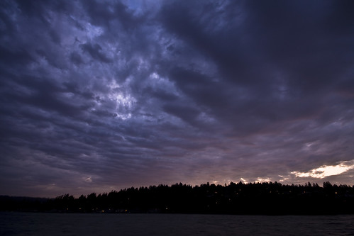
9:18pm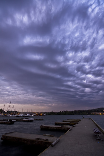
After about 5 more minutes the winds settled to 15-20kts where they stayed for awhile. This is the last shot in the series showing the enhanced band moving north.
9:23pm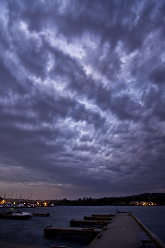
I packed up and left. I have NEVER been on such a photographic AND meteorological high at the same time. It was a meteorologists/photographers dream!
Posted by
Reid
at
12:07 AM
2
comments
![]()

